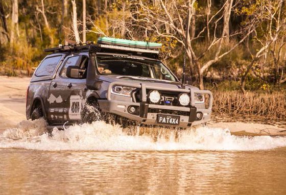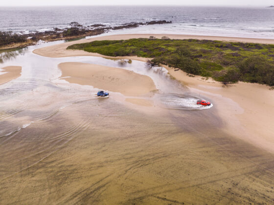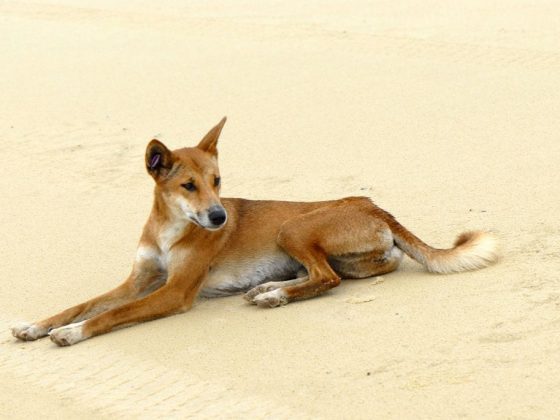

Protecting an area of coastal plains, heathlands and pristine beaches, Bundjalung national park also includes an exclusion zone used by the RAAF as an active bombing range….! But don’ty let that stop you visiting this amazing location.
The North Coast of NSW has many diverse and unique areas all linking back to when the east coast volcanoes erupted 30-60 million years ago. If it wasn’t for the major upheaval, we wouldn’t have the Great Diving Range holding rainforest pockets, rich soil farmlands and wilderness areas. Luckily, along the north coast region, we can access most of these areas in some way.
One of these areas is Bundjalung NP, just 90 minutes south of the NSW/QLD border. On paper, the park has a wide variety of things to do and I remember from 20 years ago I thought I’d head back in for a few days. Parks state that it covers 21,000 hectares with a variety of different environments including wetlands, coastal, rainforest and much more. One significant feature is the Esk River system which apparently is the longest natural coastal river ecosystem on the north coast, say that 10 times!
My plan was to start at the southern end of the park at the coastal community of Iluka and 4WD through the park to the main camping area of Black Rocks, spend a few days here and 4WD out to the north. That was the plan and by going off current maps it was doable, but, after heading off the highway into Iluka and finding the designated track, I was met with a very locked gate and signage stating, “No Entry”, so while in the area it was decided to explore this coastal area and surrounds.
Iluka is the Yaygir or Bundjalung Aboriginal word for ‘near the sea’, and everything around this quaint coastal community is defined by the sea. The town sits at the entrance of the mighty Clarence River that starts hundreds of kilometres inland and has one of the biggest catchments in NSW. History states that in 1799 Matthew Flinders investigated the river mouth and landed on the Northern side of the Clarence where Iluka is settled today. In his log, he wrote that the river mouth was shallow, and he believed that the whole river was not worth investigating. Little did he know that he was in the river’s first bay and opened into a mighty river. It wasn’t until 1830 that the first schooner sailed up the Clarence and was officially named in 1839 by Governor Gipps.
Over the years Iluka was settled and developed, major break walls were built with a local tramway constructed out to Iluka bluff for the sandstone blocks, hoteliers served the town with around 200 workmen employed for the harbour works. After the works were completed in 1890 the town soon declined with only a few staying on to become a professional fishermen.
Today Iluka is filled with fishermen and holidaymakers who enjoy the simplicity of the area, exploring and working the river. There are a few little shops, a museum to check out and of course some local seafood by the sea. For the nature-buffs, there’s the Iluka Nature Reserve and Iluka Bluff which is 136 acres of protected reserve that has a world heritage listing as the largest area of sub-tropical littoral rainforest by the sea in NSW. It’s a great place to wander through on a hot day and spot the many varieties of birds and plants that this forest holds. At the end of the walk to the north is Iluka Bluff where man-made lookouts on the headlands give uninterrupted 180-degree views along the coast and out to sea.
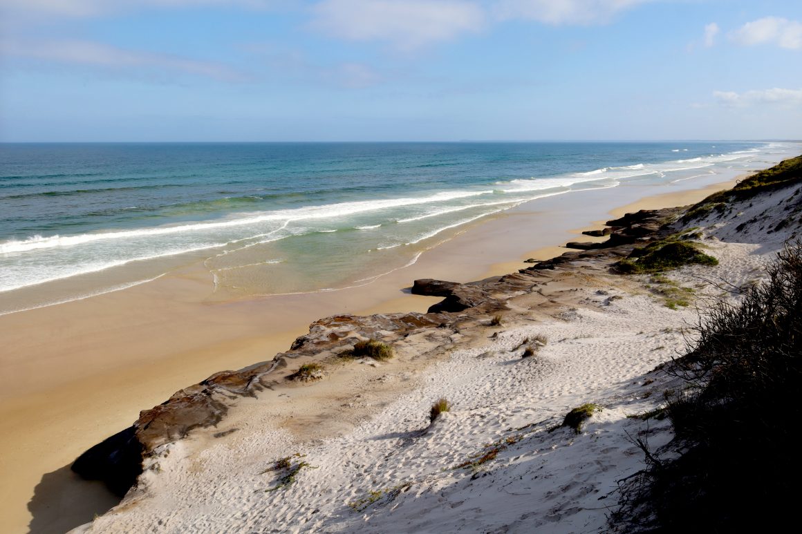
On my way back out to the highway (due to the 4WD track having a locked gate), I popped into a couple of the southern Bundjalung local spots, namely Woody Head which is a commercial camping area right on the beach and a couple of day areas where you can explore the coastline on foot. A few years ago, it was possible to drive along the beach right up to the Black Rock camping area but unfortunately, that’s been closed due to the coffee rock on the beach being too unstable to drive across. So, with these obstacles in the way, the only access point into Bundjalung is to head further north towards Woodburn and head back to the coast along Gap Road. The frustrating part was seeing nearly 40km of the thick bush all locked up beside the highway.
The road into Black Rocks is a beautifully maintained dirt road which for nearly its entire length of 20km is an easy drive passing through a variety of landscapes from rich farmland, rough sandstone areas, swamps, and heathlands. Rich rainforest pockets surround massive gums that have survived the timber cutters but there are scars from sand mining activities from past times. The runoff creeks into the Esk River look dark and gloomy but are stained from the heathland, coastal cypress stands and paperbark forests. These days you must book online for most National Parks with Bundjalung being no different, so being my first time here I decided to just head in and check out the quality of the campsites prior to booking.
The campsite area has to be one of the best along the east coast with massive sites with an element of privacy, fire pits and picnic tables plus a handy clothesline in every site for those beach towels and cozzies. Booking online through the park’s website is simple after choosing one of the empty spots. All the camping spots run parallel to the coastline where the furthest ones away are no more than a 3-minute walk to the water’s edge over the huge dunes.
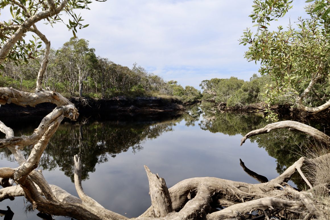
Reading the info boards around the larger group areas, Bundjalung is all about nature, Aboriginal heritage and loads of flora and fauna across the area. With all the 4WD tracks locked up nearby, it’s all about throwing the walking shoes on to either to the Emu Loop hike of about 3km or the bigger Jerusalem Hike of nearly 8km or heading down to the long stretches of coffee rock-lined beach to take all that salt air in. Ironically the Emu Loop walk is named after the endangered coastal Emu’s that may be spotted in the area. I have spotted them in past years but in another NP to the south. The Jerusalem walk follows the river right to the ocean where there are plenty of spots to dip your feet into the water to cool off. On both walks check out the coast Banksia, Grevillea and twisted trees lining the riverbank. The still water of the Esk river also provides amazing canoeing for the enthusiast in the protected waters. If you’re keen an early morning or evening stroll through the heathlands will reveal many delightful sights including rare plants and animals. A total of 205 bird, 30 mammal, 38 reptile and 13 amphibian species have been recorded in the park.
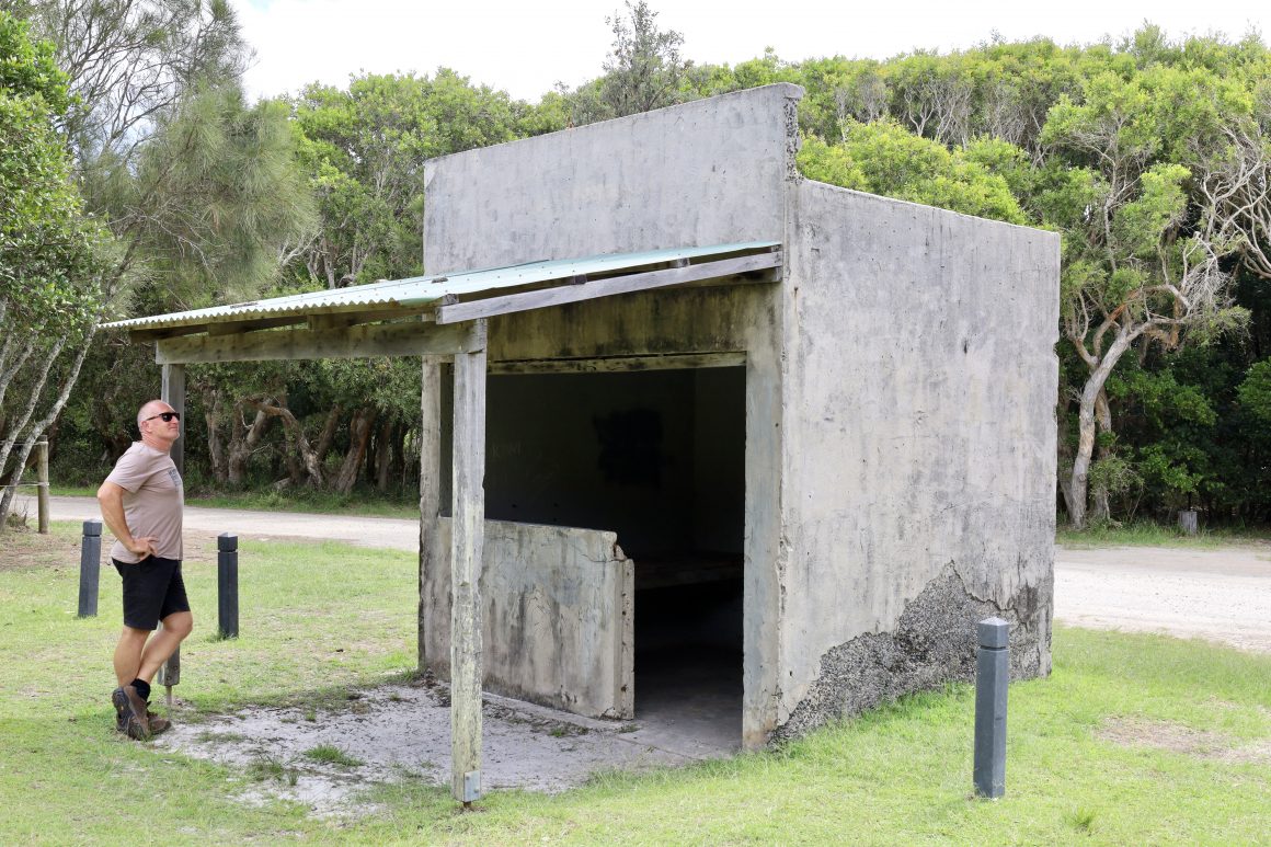
I was surprised to see several (in fact 3) concrete war bunkers right in the heart of the main camping area and apparently, they were used significantly in WWII. It’s reported that thousands of soldiers used these bunkers to gain the skills that they needed to protect Australia in case of invasion. They were part of the nearby RAAF’s bombing and gunnery school that operates still at Evans Head to the north. This was one of ten schooling areas that were urgently built and established across Australia in 1939. The Evans Head bombing range (that adjoins Bundjalung in the north) is still used today by jets operating out of Amberley Airforce Base in QLD.
The Park lies within the traditional lands of the Bundjalung Nation which has many significant Aboriginal sites indicating that the area has been used intensely for over 6000 years. Inland tribes would journey to the coast during winter, trading seeds for fish caught by coastal groups. Also recorded in the park are Aboriginal campsites, Middens, and ceremonial grounds. To the north, Goanna Headland is an important mythological site that was the subject of one of the first Aboriginal land claims in NSW.
So, would I head back to Bundjalung?
Honestly – yes. After getting my head around no 4WD tracks and the only road in and out is doable in a soft-roader, the park is extremely relaxing and getting back to nature has its benefits.