


We’ve always reckoned that the best way to see the East Coast isn’t through a bug-splattered windscreen on the Pacific Highway. Back in Season 16, we set out to prove that you could link Brisbane to Melbourne almost entirely on the dirt, and even a few years on, this remains one of the most requested routes in our archives. Whether you’re seeing this for the first time on YouTube or you’re looking for a fresh excuse to point the bullbar south, we’ve kept the maps live so you can follow in our tyre tracks.
This isn’t just a point-to-point commute. We spent weeks scouting a line that captures everything from the salt air of the Queensland coast to the thin air of the Victorian peaks. It’s a route designed for the touring enthusiast who wants a bit of everything: technical climbs, river crossings, and those quiet, remote campsites that make you forget the city even exists. Best of all, we’ve bundled the whole lot into a Google Maps link that you can carry right on your dash.
Getting the most out of the route
We’ve seen a few comments mentioning some confusion about the title, so let’s set the record straight: this is the full Brisbane to Melbourne odyssey. While some sections might feel like a weekend jaunt from Sydney, the total map covers the big dance. Because we’re dealing with some pretty remote terrain through the High Country and the Great Dividing Range, you cannot rely on having five bars of 5G the whole way.
Before you leave the driveway, we highly recommend downloading the map sectors for offline use. Google Maps is great until you hit a gully in the Mountains and lose signal. To do this, simply open the route on your phone, tap the area name, and hit download. It’s a simple step that saves a lot of headache when you’re trying to find a campsite at dusk.
Highlights you can’t miss
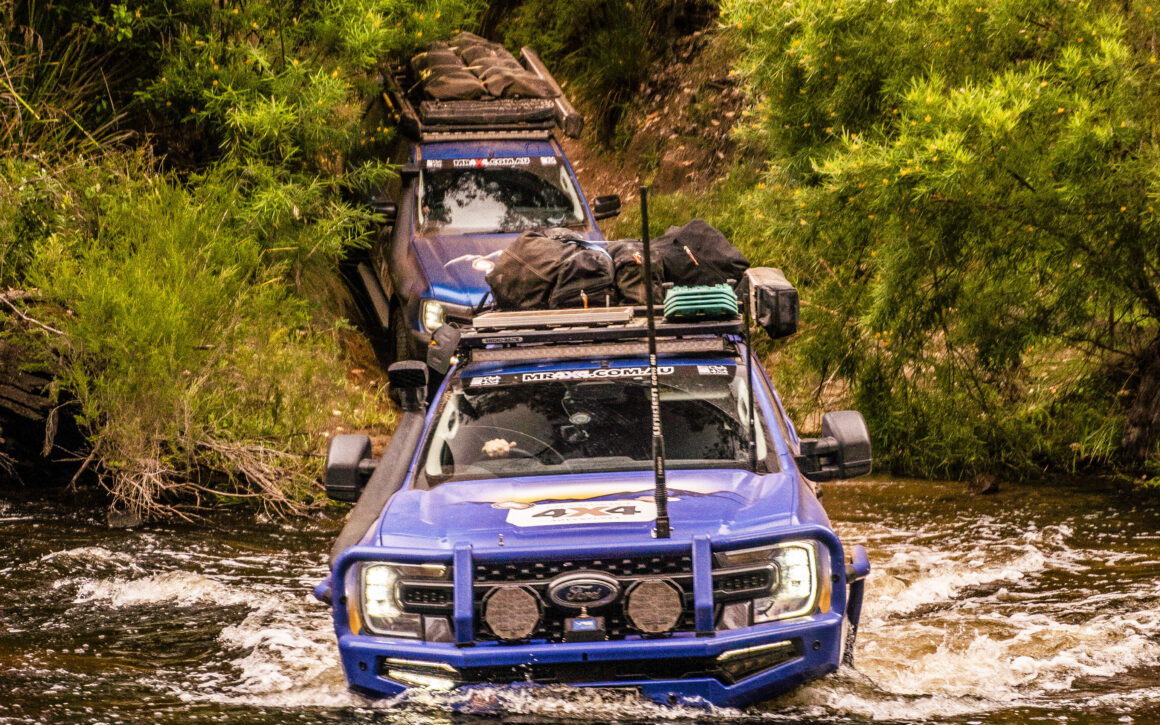
The beauty of this trip is the sheer variety of the landscape. We start with the sand and surf of Stradbroke Island, which is about as good a start to a trip as you can get. From there, the terrain gets a lot more vertical as we push into the Blue Mountains. We’re talking about iconic sandstone cliffs and hidden waterfalls that most people only ever see from a lookout, but we get you right into the thick of it.
Further south, we hit the Victorian High Country. This is the heart and soul of Aussie 4X4 touring. The tracks here can be a bit more “character building” depending on the weather, but the reward is standing on top of a ridge with nothing but mountains in every direction. We also made sure to include a stop at the Ada Tree, a massive mountain ash that really puts the scale of the Victorian bush into perspective.
Ready for the road
While this map is a couple of years old now, the tracks themselves are timeless. Nature might move a few rocks around or wash out a creek bank here and there, but the spirit of the adventure remains exactly the same. It’s a fantastic entry point for anyone who wants to try long-distance touring without needing a six-figure custom build or a year off work.
Grab the link below, load it into your device, and start ticking off the waypoints. We’ve done the hard yards in the scouting phase so you can focus on the driving and the campfire yarns. Just remember to check local track closures before you head off, as things can change with the seasons. Pack the fridge, check your pressures, and we’ll see you on the dirt.
ACCESS THE ROUTE HERE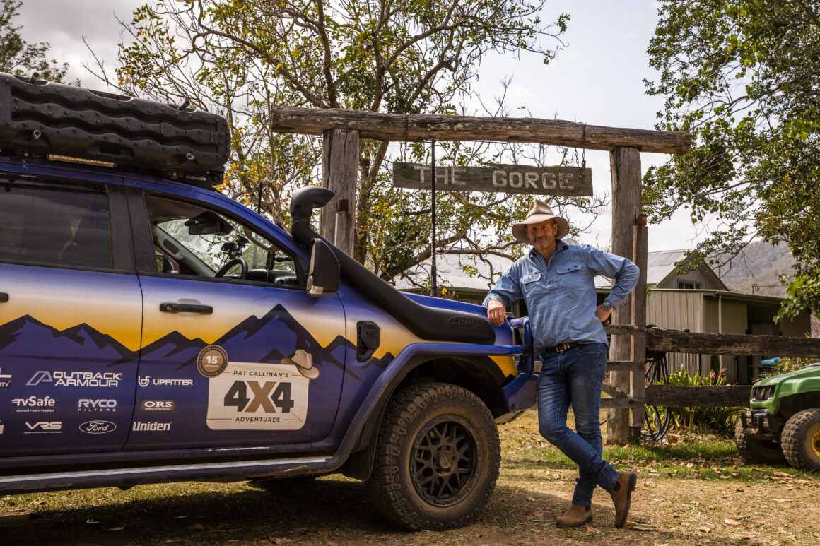


1 comment
It’s quite confusing having the track / map titled ‘Bris to Sydney’, when it’s actually Bris to Melb?