
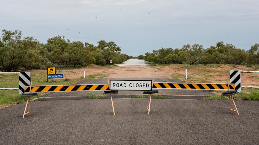
If you’ve been watching the inland radar lately, you’ll know this isn’t just a passing storm. This is basin-wide rain feeding some of Australia’s biggest inland river systems. And when that happens, it’s not a few bog holes here and there — whole regions effectively go offline.
Right now, large parts of Channel Country, far north South Australia and Corner Country NSW are either closed or highly unstable. If you’re planning Birdsville, the Simpson, Strzelecki, Oodnadatta or a Corner loop, here’s what that actually means.
Channel Country & Diamantina QLD
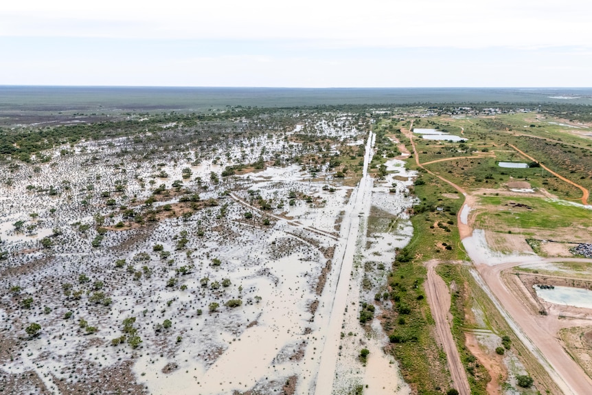
The biggest cluster of closures is across the Diamantina and wider Channel Country region. Around Birdsville, Bedourie and Windorah, roads are not just restricted, they’re effectively shut in multiple directions.
Major impacted routes include:
- Birdsville Developmental Road
- Eyre Developmental Road
- Diamantina Developmental Road
- Coorabulka Road
- Cordillo Downs Road
This isn’t surface water that drains overnight. The Diamantina, Georgina and Cooper systems are spreading across flat floodplains that hold water for weeks. Even if skies clear, the water continues moving south toward Lake Eyre.
In practical touring terms: you cannot reliably drive into Birdsville from Queensland right now. Simpson Desert access from the eastern side is highly unlikely in the immediate short term. Even if a single road segment reopens, feeder routes remain compromised.
If you were planning a February or early March Simpson east–west run, this is a hard reset moment.
South Australia Desert Tracks: Closed, Fragile And Under Pressure
Across the border in far north South Australia, the closure pattern follows the river systems. Areas around Marree and Oodnadatta are seeing widespread impacts, with heavy restrictions and closures affecting the classic touring corridors:
- Birdsville Track
- Strzelecki Track
- Oodnadatta Track
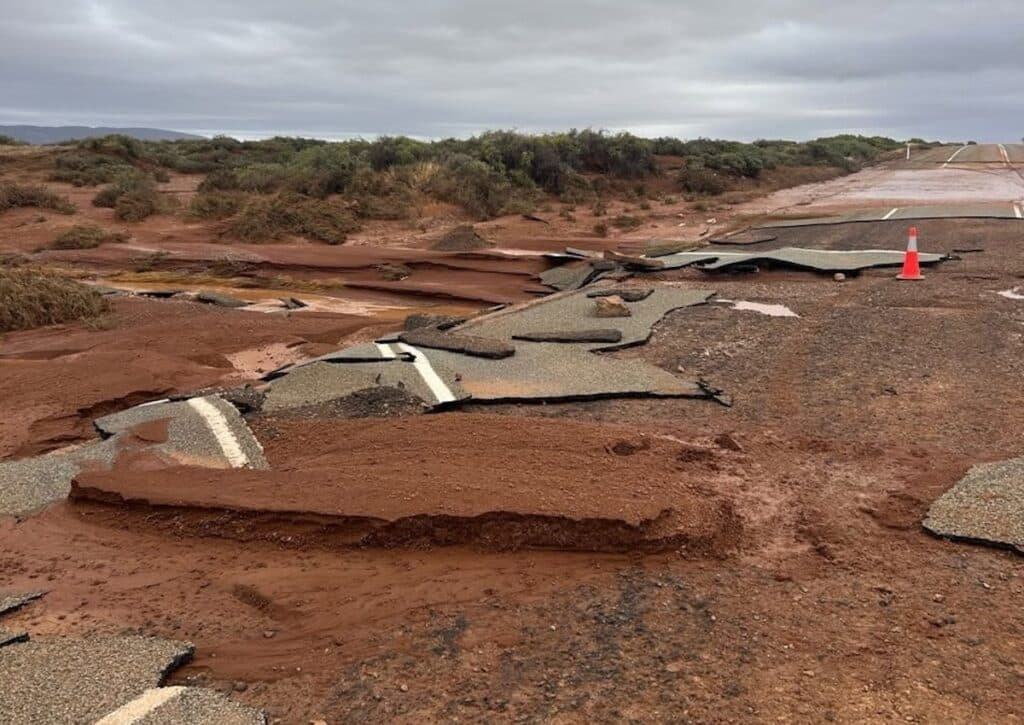
These roads are clay-based. When dry, they’re fast, wide touring highways. When wet, they’re essentially a skating rink on a hardpan base. Authorities will shut them quickly to prevent surface destruction. And even when they reopen, expect:
- Floodway washouts
- Soft shoulders collapsing under weight
- Rapid corrugation once traffic resumes
- Potential towing restrictions
If you’re heading north from Lyndhurst, across to Innamincka or up the Strzelecki, this isn’t a “check once and go” scenario. It’s daily monitoring territory. It’s not just the desert plains that have copped it. Arkaroola Wilderness Sanctuary in the northern Flinders has taken significant rainfall too. When that country gets hit, steep station roads and rocky 4X4 tracks can deteriorate quickly. Expect:
- Track erosion
- Water damage to steep climbs
- Access restrictions while conditions stabilise
If you had Arkaroola or the northern Flinders pencilled in as a “safer” alternative to the Channel Country, you still need to check conditions carefully. The Flinders might drain faster than the floodplains, but it’s not business as usual.
Corner Country & Far West NSW
Further south and east, the maps show heavy clustering around Tibooburra and the wider Corner Country. This is where things get tricky. It’s not necessarily one major highway shut it’s multiple minor connectors affected at once. That reduces redundancy. You might be able to enter via one route, only to find the exit option has closed behind you.
That has flow-on effects:
- Fuel deliveries slow or pause
- Recovery access becomes limited
- Alternate routes vanish
For anyone planning a Corner loop via White Cliffs, Packsaddle, Cameron Corner or Innamincka, flexibility is critical.
Northern Territory Interior
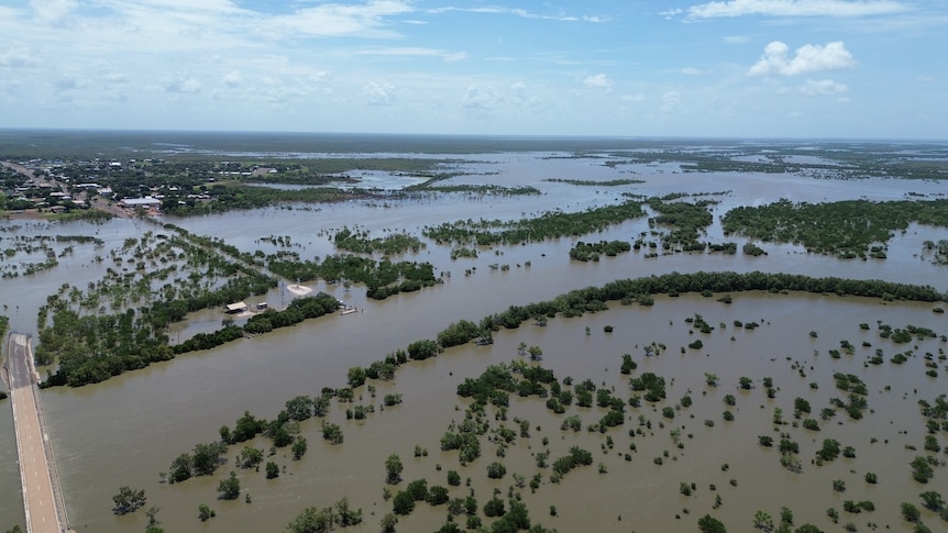
The NT hasn’t escaped this system either. Closures and restrictions are appearing along key interior routes that connect the Territory to north-west Queensland and central Australia. The ones to watch closely include:
- Plenty Highway
- Sandover Highway
- Barkly Highway (particularly floodway sections)
These are critical corridors for anyone running:
- Alice Springs → Boulia
- Alice → Mount Isa
- East–west desert traverses
- NT ↔ QLD touring loops
The Plenty and Sandover in particular can go from dusty and corrugated to impassable very quickly. They’re long, remote and have multiple floodways that sit low in black soil country. Once water sits across them, they’re closed and they can stay that way. The other factor in the NT is repair time. Distances are vast, crews are limited, and reopenings can lag once water recedes. If you were thinking of bypassing flooded Channel Country by coming in via the Territory first, you need to confirm those corridors are actually viable. Right now, some are not.
Kimberley & WA
Up in northern Western Australia, the wet has done what the wet always does, and the Gibb River Road is currently closed. The Gibb isn’t just another outback road. It’s one of the most iconic touring routes in the world, running across the Kimberley between Derby and Kununurra. And when it’s shut, it’s shut properly.
Heavy rainfall through the Kimberley means:
- Creek crossings running hard
- River levels up across Pentecost and Durack systems
- Road base damage in low-lying sections
- Station access tracks cut
Unlike clay desert closures further south, this is classic wet-season Kimberley behaviour. The Gibb will reopen, it always does, but not until water drops and graders can get through to repair damaged sections.
For anyone planning:
- Early-season Kimberley touring
- A Broome → Kununurra run
- Mitchell Plateau access
- Bell Gorge, Manning Gorge or El Questro loops
You need to assume delays.
And when it does reopen, expect early-season conditions: chopped-up approaches, rocky washouts and creek entries that are still soft and undercut.
What’s Likely To Close Next?
Even if rain eases, downstream flood peaks are still moving.
Watch for:
- Additional closures south along Cooper Creek toward Lake Eyre
- Temporary shutdowns of sealed highways at floodways
- Weight limits imposed before full closures
- Reopen–reclose cycles as water levels fluctuate
This is the kind of event where roads reopen briefly, then shut again as the next surge comes through.
The Longer View
Here’s the upside. Once this dries out, inland Australia is going to be spectacular. Floodplains green up. Birdlife explodes. Wildflowers follow. There’s every chance this sets up one of the best desert seasons in years. But right now? The Outback is in reset mode.