
Ever wondered what it’s like to get onto a mapping expedition with the team from HEMA? Ben Carceller got the chance to find out.
Hema Maps cover hundreds of thousands of kilometres of tracks all over Australia, and travellers rely on their maps to make real-time navigation decisions when they’re in the Outback or on their favourite local track, so having up to date track data is very important. The challenge for Hema maps is how to keep track data up to date, given the rate of tracks closures, changes of ownership, changes in track condition and difficulty, and the addition and removal of points of interest.
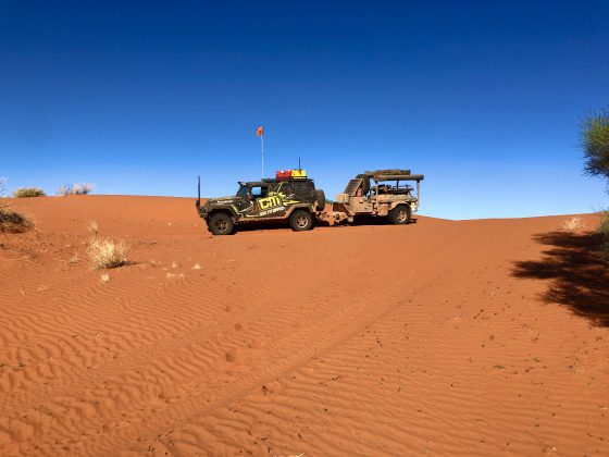
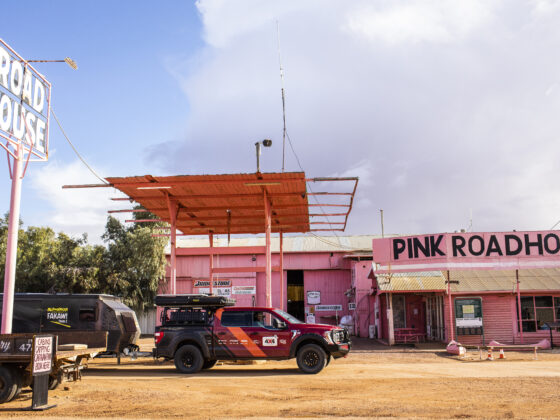
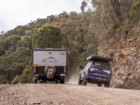
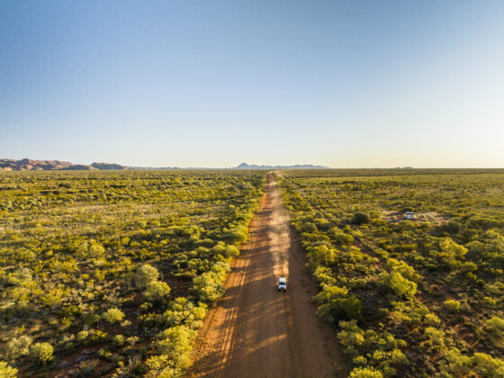
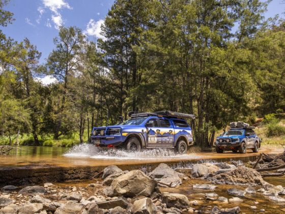
One of the ways Hema does this is with regular Map Patrol trips, conducted by their full-time staff in one of the purpose-built vehicles they have for this sort of work. Another method more recently employed, is to engage a limited number of experienced contract operators to assist in the collection of some types of data. This is where we come into the mix. Since late 2020, when we were approached by Hema Maps, we’ve been working with them yet another set of eyes and wheels on the ground, collecting map data which makes its way into software updates for Hema devices and apps, as well as printed map products. Sometimes the two methods are combined, which is what happened in mid-2021 when we were asked to join a 21-day Hema Map Patrol expedition, with the Hema Map Patrol 79 Series, covering the Great Desert Tracks. On this occasion, the use of multiple vehicles on a Map Patrol trip was done both for equipment and vehicle redundancy but more importantly safety, as some of the areas covered in the expedition were extremely remote.
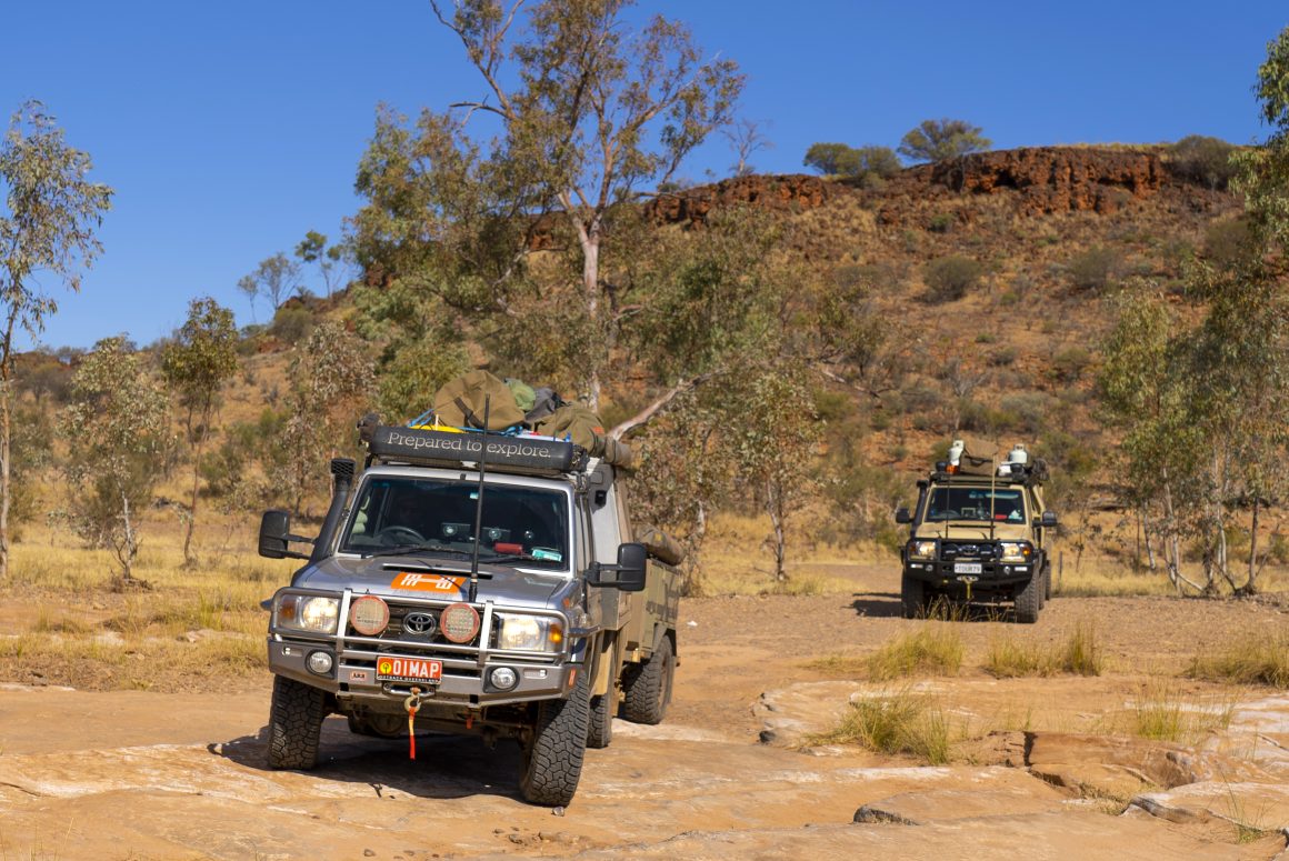
Whilst some may think this is a bit of a dream job and something of a holiday, I can assure you that Map Patrol trips, when done specifically to gather track data, can be long days and hard work and the teamwork very hard to collect accurate and useful data. The focus of a Map Patrol expedition is to gather as much track data over as many kilometres of tracks as safely and practically possible. A typical day spent logging involves around 8 hours of driving and logging tracks, with lunch and rest breaks as required. The driving teams consist of a driver and a data logger so that the driver can focus on navigating the tracks and the logger can capture track and point-of-interest data. Each track, campsite and point of interest in the targeted area need to be driven along, with stops to investigate point-of-interest data. Often, a lot of backtracking or double driving over tracks is required to thoroughly cover all the areas. Sometimes you need to drive 40 or 50km down a track to log a campsite at the end of it, then turn around and make your way back to the main track or road. Covering as much distance as a Map Patrol expedition involves, over the time frame allocated, also means that daily checks and maintenance, as well as running repairs, need to be carried out on the vehicles and equipment. As an example, the Great Desert Tracks map patrol involved around 12,000km of travel over 21 days.
We became part of Hema’s data collection program by way of Hema approaching us to discuss if we had interest and were willing to consider what was involved in the process. This was mainly due to the amount of travel we do as part of our tag-along tour business, as well as in general for our own touring, along with the relationship we have with Hema through our 4WD shop, selling and supporting their various map products. Aside from joining the Hema team on this recent Map Patrol expedition, we have also been independently collecting data whilst out on the road, either leading a tour, on route to a tour or just travelling to explore. The extra ground cover we can provide gives a significant boost in the total number of kilometres of track data collected.
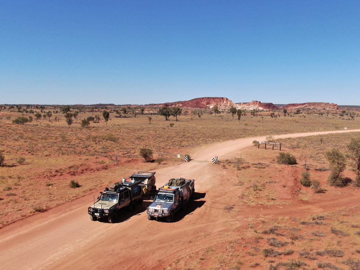
Regardless of the long days and challenges involved in working from the road and keeping vehicles running, if you love being out and about in all parts of Australia like we do, it’s still an interesting and rewarding process. The fact that we’re also contributing to enhancing the map data available for like-minded 4WDers all around the country is also something I enjoy.