What’s involved in a Mapping Expedition (and how I scored the gig)
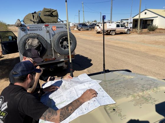
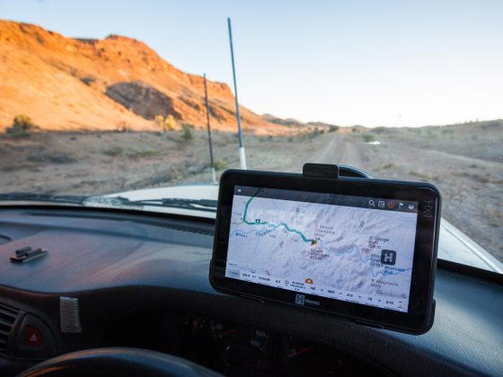
Ever wondered what it’s like to get onto a mapping expedition with the team from HEMA? Ben Carceller got the chance to find out. Hema Maps cover hundreds of thousands of kilometres of tracks all over Australia, and travellers rely on their maps to make real-time navigation decisions when they’re in the Outback or on their favourite local track, so having up to date track data is very important. The challenge for Hema maps is how to keep track data up to date, given the rate of tracks closures, changes of ownership, changes in track condition and difficulty, and the addition and removal of points of interest. One of the ways Hema does this is with regular Map Patrol trips, conducted by their full-time staff in one of the purpose-built vehicles they have for this sort of work. Another method more recently employed, is to engage a limited number of experienced contract operators to assist in the collection of some types of data. This is where we come into the mix. Since late 2020, when we were approached by Hema Maps, we’ve been working with them yet another set of eyes and wheels on the ground, collecting map data which makes its way into software updates for Hema devices and apps, as well as printed map products. Sometimes the two…


