

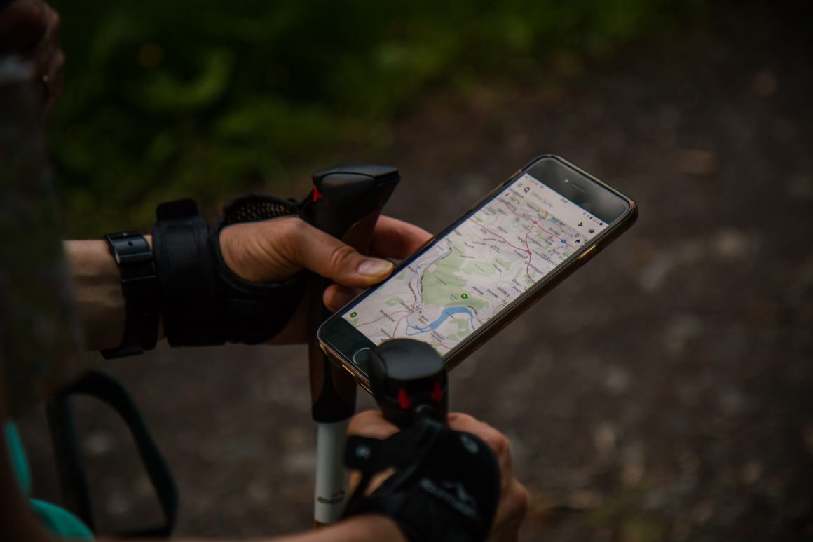
Gone are the days of holding the encyclopaedia sized book full of maps, tracing the trip with your finger and relaying directions to the driver. We’re now used to the familiar voice of Siri speaking through our vehicle and letting us know we have to veer off in 800 metres. However, we now need to ponder if we put too much trust into these maps after a family was left stranded due to a misdirection from Google Maps.
Family stranded
Rather than a simple inconvenience, a family was left in a dire and life threatening position when their Hyundai Tucson was sent down an inaccessible track by Google Maps. When the family failed to arrive at their destination in Packsaddle the family was reported missing to NSW Police. As a result, an investigation and major land search began, spanning Tibooburra, Broken Hill, Wilcannia, Packsaddle and surrounding areas.
Google Maps directed the family off track onto a dirt road, far from a sealed highway where they became bogged in a remote area. In search of phone reception to call for help, the family walked for hours before eventually returning to their car. After running out of drinking water shared between them, they had to drink from a puddle of water they found.
They were found by a rescue helicopter 48 hours later, located roughly 50km southeast of Tibooburra.
How can I ensure my safety?
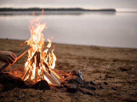
Although a scary situation, this family had a happy ending and were found and taken to safety. Unfortunately, this isn’t always the case. How can you make sure you can get yourself out of a sticky situation like this in the future? One way is by keeping a personal locator beacon (PLB) in the car to alert emergency services of where you are. Even if you don’t believe the road trip requires one, it’s always better to be safe than sorry. Other tips are to carry extra food and water with you in case of an emergency and let friends and family know where you’ll be heading and when to expect you back.