

Western Australia’s Turquoise Coast, that stretch from Guilderton to Leeman that’s been a playground for beach campers, fishos and 4X4ers for decades has just entered a new era. After months of consultation, the Shires of Coorow, Dandaragan and Gingin have now officially adopted the Coastal Recreational Track Management Master Plan, moving it from talk to action.
In short, the plan is designed to stop dune erosion and protect heritage sites along the coast, but the way it’ll do that will be by tightening up how 4X4ers access and move through the dunes.
The End of the Free-For-All
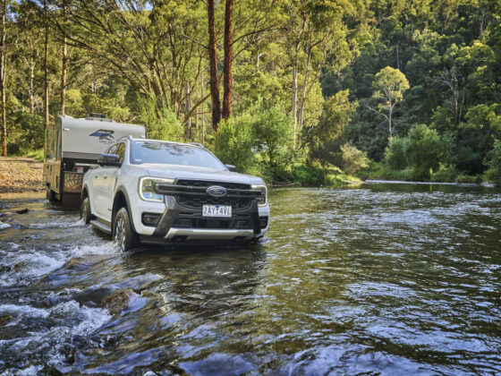
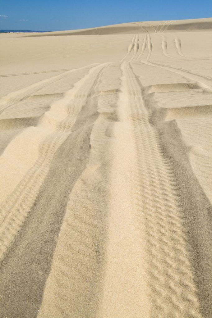
If you’ve spent any time exploring the tracks around Lancelin, Jurien Bay, Green Head or Leeman, you’ll know the area’s popularity has exploded in recent years. Unfortunately, so have the number of unofficial beach tracks. What started as a few shortcuts or alternative lines has turned into a web of rogue routes cutting straight through the dunes, and that’s the sort of thing that’ll catch councils attention sooner or later.
Under the new plan, many of those off-shoot tracks will be closed and rehabilitated, while main access points will stay open but be better defined. Expect more signage, more fencing and a bit more structure around where you can and can’t drive. It’s not a total clamp-down, but it is a clear line in the sand — literally.
Keeping the Coast Open
For most responsible 4X4ers, this isn’t really bad news. The plan still recognises that beach driving, fishing and camping are a vital part of life along the coast. The goal isn’t to ban it, but to make sure the coastline doesn’t blow away in the process.
Tracks like those leading to North Head and Island Point have copped heavy damage over the years, and the councils reckon controlling how people enter and exit those zones will give the dunes a fighting chance to stabilise. When a single, well-used track runs through a dune system, the sand compacts and the vegetation around it holds firm. But when dozens of fresh wheel ruts slice through, the wind gets in and starts tearing everything apart. That’s when access risks disappearing for everyone.
The Bigger Picture
This new master plan locks in a long-term approach: retaining popular tracks and beach access points while shutting down duplicate or unsustainable ones. It’s a structured way of saying “use it, don’t abuse it.”
It’s also a reminder that four-wheel driving as a culture depends on doing the right thing, staying on marked tracks, leaving no trace, and thinking about how the next generation will use the same coastline. If drivers keep going rogue, the councils will keep tightening things up. But if the community proves it can respect the rules, we’ll keep the best parts open.
The changes aren’t overnight. Signage, track rehabilitation and fencing will roll out gradually, and plenty of areas will remain open in the meantime. Still, it’s worth brushing up on which routes are approved before heading north, what looked like a good shortcut last summer might now be off limits.
What It Means For Us
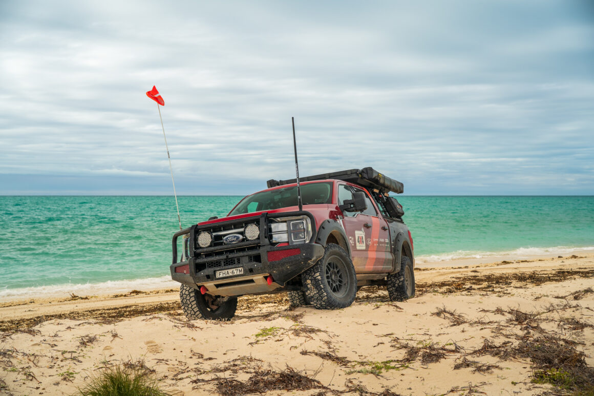
For Mr 4X4 readers, the takeaway is simple: this stretch of coast is still one of WA’s best playgrounds, but the days of cutting new tracks are over. Keep to the designated routes, check signage before dropping tyres onto the sand, and give the dunes a chance to recover.
Because if we get this right, the coast stays open, and that’s a win for every 4X4er who loves the smell of salt air and the sound of sand under their tyres.