Broken Hill, some say it’s in the middle nowhere, others say it’s where the real outback starts. Now while I sort of agree with these, I reckon that Broken Hill is in the middle of everywhere.
There’s always plenty to do in the Hill like, explore the historical mines, visit the many galleries, explore the amazing Silverton and of course see the Sculptures in the desert at sunset. Our recent visit was to check all these things off, do a decent shop and head further north. With the recent sealing of the Silver City Highway all the way north to Tibooburra, we really didn’t want to ride the bitumen for the four-hour trip north. This gave us the chance to explore roads west of the stunning Barrier Ranges across to the SA border along the world-famous Dog Fence.
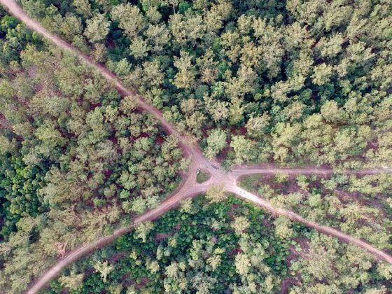
Heading 30km north from the Hill towards Tibooburra we found the turn off for Corona Road (aptly named in these times of a world-wide crises), and straight away we were in our element as the road went straight to dirt PLUS it was marked as 4WD only due to possible flooding.
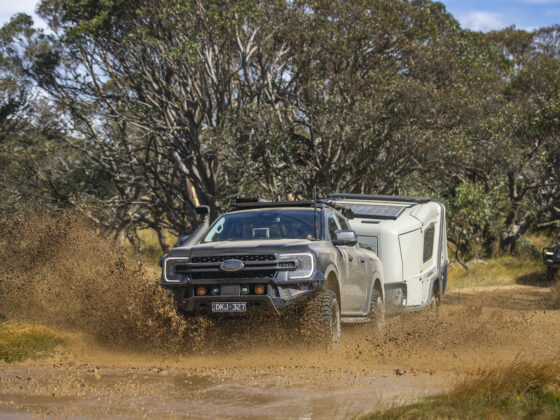
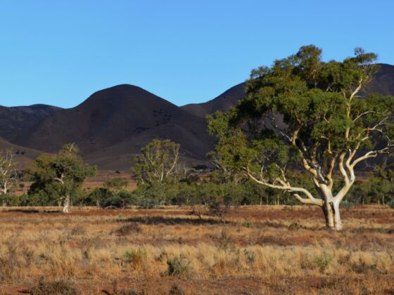
The country out here is pretty amazing with endless plains and stunning views for as far as the eye can see. After spending time dropping tyre pressures we pottered along Corona Road with the sun in our eyes as we passed through the Robe Range and the southern end of the always stunning Barrier Ranges. Not long we had noticed what seemed to be an old rail line that was following the road and marked on the maps that we were using. It wasn’t long before we stumbled across what seemed to be massive quarrying in the hills and ruins that seemed to be scattered across several miles.
Poking around the ruins it was soon obvious that this was a pretty major operation. In fact, this was part of the Tarrawingee Tramway that ran from here south to Broken Hill via Stephens Creek, carting high-grade limestone suitable for use as flux in steel making at smelters. This 3’6’’ narrow gauge line separated into different areas at the head, but towards the four different quarries, several sidings, platforms, yards and overhead loader the line was reduced to a two-foot line.
Spending time around the area there’s a huge number of relics that can be seen. From building foundations, old wells, rail structures and implements, we even walked the raised sidings spotting more relics across the land. The main quarry area must be a hundred-foot deep and half a mile long with even more bins left behind, and the views from the top of the quarry are nothing short of fantastic looking down on the old town and towards the Barrier Ranges to the east.
The Tarrawingee Tramway was constructed in 1891 and closed soon after in1898 due to loss of flux traffic but opened due to public outcry and it ran for a further 30 years moving 25,000 tons of solid aggregate to Broken Hill, finally being dismantled in 1959.
After leaving Tarrawingee, Corona Rd heads north through private stations where access is open to the public – but gates need to be left as you found them and stay on the main road. There are a few stations along the way that allow camping in designated areas like Mount Gipps and Pine View with pretty basic options. Our camp at Pine View was on the out-station where there were no facilities which was fine. Interestingly here on Pine View and indeed along the route we were taking, it was the same as one of Australia’s greatest explorers, Charles Sturt, who while on his way north to Tibooburra camped nearby beside a drying Waterhole back in 1845.
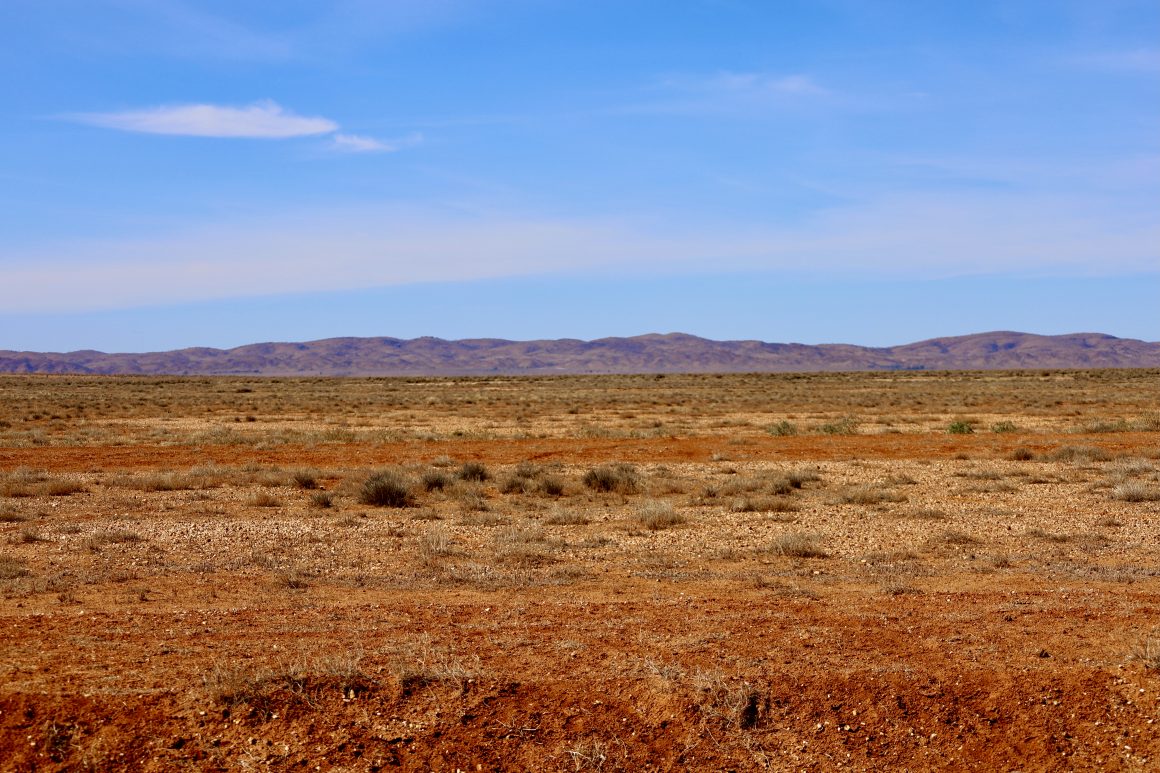
It’s around the Pine View area that the roads start having a Sandy base and that’s due to being in the southern end of the Strzelecki Desert, with more and more sand dunes appearing. Pine View is very welcoming as soon as you pass through their gate with a scaled version of the station PLUS a bush book exchange inside the old beer fridge. Border Downs is the next station that we entered, and it seemed like it was gate number 200 that we opened and closed for the trip. It was here that we noticed the track was getting ever so closer to the iconic Dog Fence and the SA border and after crossing the dry Kuthajerri Plain our track was running parallel to the fence just 50 metres away. Between us and the fence was the fence service road, which is highly illegal to drive on, we were pretty rapt to run parallel for nearly 50km, which in fact is the only place on the fence’s whole 5,300 km journey that this can be done!
There’s no direct access to SA along the fence and huge fines apply if you try along the service road or the gatehouses at Smithville and Hawker Gate. Our trip soon swung to the east over the blistering white quartz covered hills towards Milperinka, with a quick diversion into Depot Glen and Preservation Creek. With the recent floods that swept through this area just a month ago, we were one of the first to gain access to the Grave and memorial of James Poole who was buried under a gnarly Grevillea Tree back in 1845, after he died of Scurvy while waiting for Sturt to return while they searched for the inland sea. Not far away the beautiful town of Milperinka was our next call, walking around in amazement at the few restored sandstone buildings, ruins and the newly built history museum which gives you a glimpse into the past and just how tough yet at times just how beautiful this area once was.
It’s so easy to lose a few hours here but our final destination was a couple of hours away yet. Our plan was to stay away from the tar but with several roads closed nearby we had no option but to hit the tar and head through Tibooburra. Now, this isn’t a bad thing as it’s a port of call to get fuel and to top up on a few groceries. Tibooburra is a place built in and around 450-million-year-old Granite Tors, in fact, the aboriginal meaning is ‘Heap of Rocks’, and anybody who has been here can certainly agree to this.
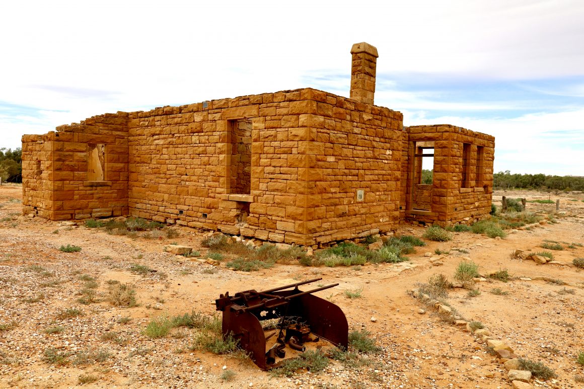
Heading further west from Tibooburra we were soon into treeless plains which to us looked dire as we travelled at speed, but just imagine the poor explorers who at times with wagons, camels, stock, and the rest may only travel up to 40km per day. It would have been bloody tough.
Passing through Sturt NP on its sandy and often corrugated roads, we wanted to check out Pinaroo Lakes. I’ve been here a few times when they have been totally full of water and alive with wildlife plus, I was here a few years ago when totally dry and it gave us the chance to walk through to the second lake to see the tree that Sturt had marked on his journey plus see the relics left behind when they sunk a bore looking for water. With the massive deluges, this area had a few months ago it was great to see the lakes totally full bringing life back to the area. When full these lakes take around six years to dry out and they have the largest basin within the NSW part of the Simpson – Strzelecki desert system.
It’s about a three-hour drive from Tibooburra to the NW corner of NSW, aptly named Cameron Corner, named after surveyor John Cameron, who spent several years around 1880 marking borders between NSW and QLD. In his early days, he sunk a post to mark the SA border which created the tri-corner. Although correct at the time, with modern GPS technology it was found that the corner was actually a few metres out. Today a concrete pole marks the true spot.
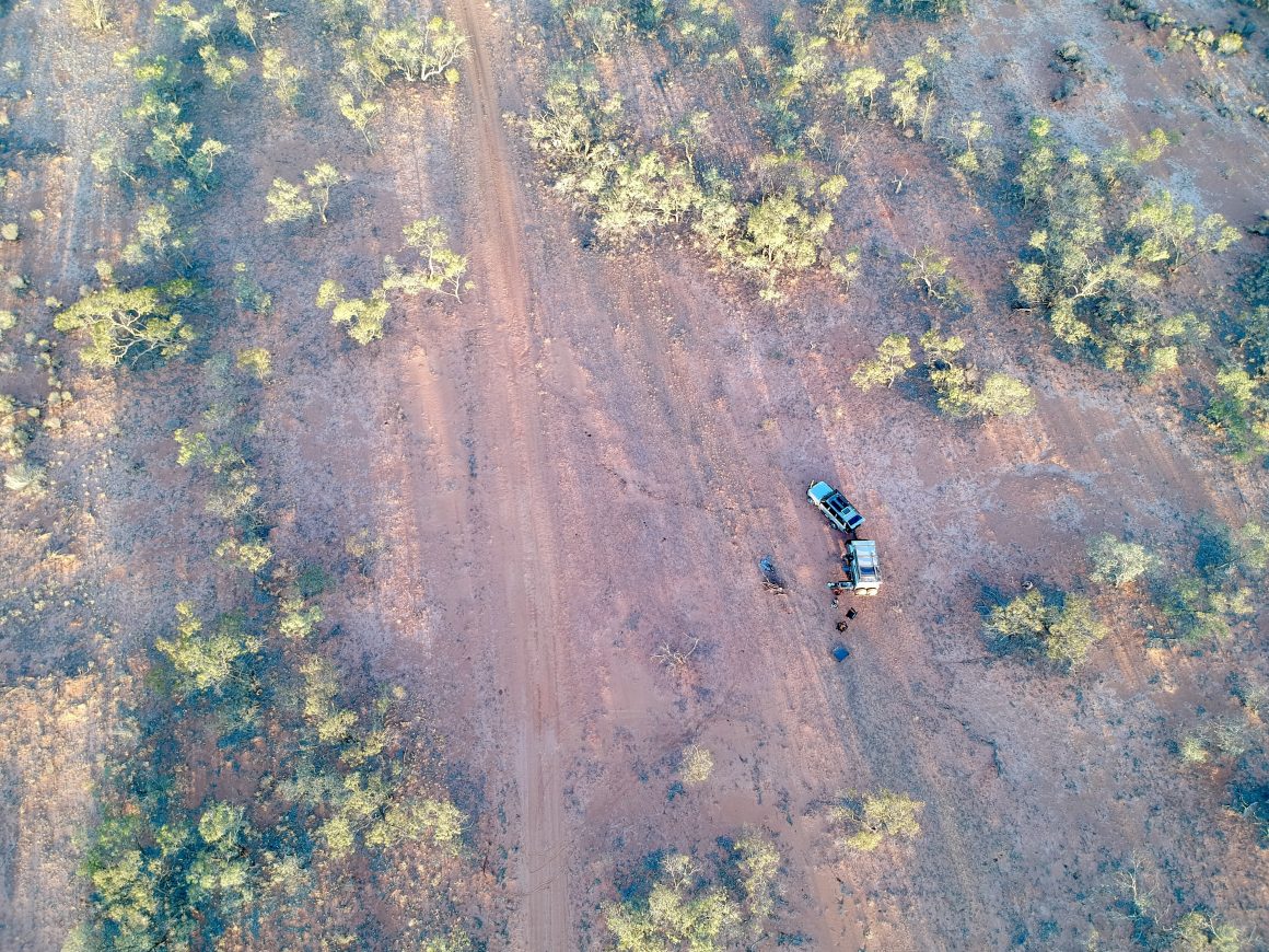
In the true tradition, we always stop at the Cameron Corner store (in QLD) to enjoy a tasty pie and have a coldie to escape the hordes of flies that have bred during the past summer. It wasn’t long that we need to head further west into SA and towards the Strzelecki Track along the Merty Merty track to camp some 95km away. Now while this is ‘just another dirt road’ it’s actually the start of jump upcountry, where there are over a hundred dunes (or jump up’s) to go over. Some of these are only slight rises yet others have either a sharp incline, decline and some have both. Chatting to the local copper he was saying that most accidents out here occur by foreigners who drift across the other side of the jump up to the other side.
The views from the taller ones are stunning as you look from the top into the distance seeing the track snaking away across the countryside with rich red sand sparkling in the distance and if you’re lucky, pops of colour are highlighted against its background. Our camp for the night was beside the dune just on the outskirts of Merty Merty Station, and as the sun was setting we were graced by another stunning outback sunset showing the true red in the dunes nearby.
Now while this trip is not rated hard or extreme, you need to be comfortable with remote travel as there is no fuel, services or even phone signal for nearly 500km. Some stations may help but do the right thing and respect their land and it wouldn’t hurt by telling somebody your travel plans through this area.


