
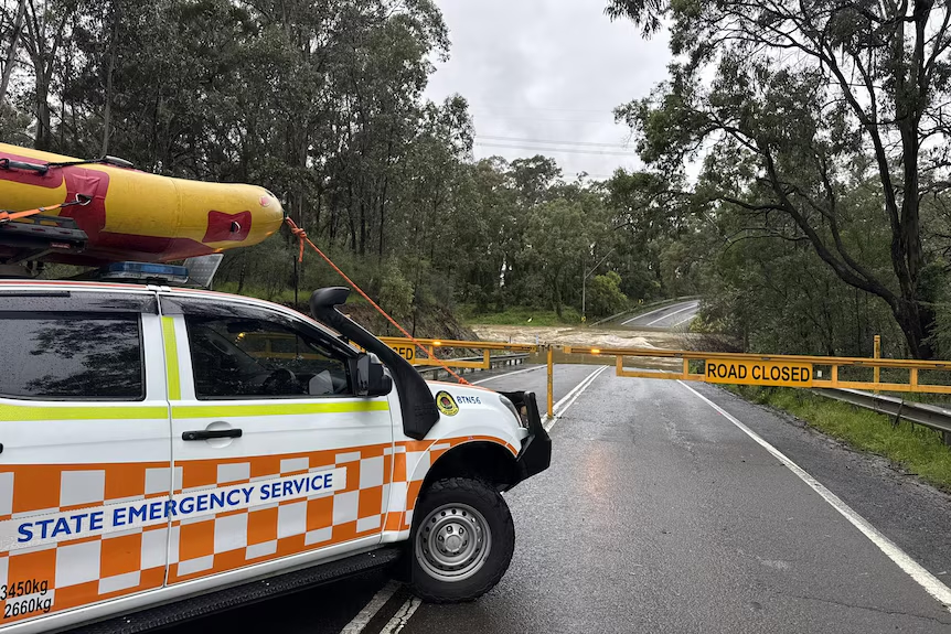
We all love a good weekend escape into the bush, but nature is about to turn the taps on across some of our favorite testing grounds. If you have tracks like the Watagans, Barrington Tops, or Chichester State Forest on your radar for this weekend, it is time to reassess the game plan.
The Bureau of Meteorology issued a formal Flood Watch on Tuesday afternoon covering the Hunter and southern parts of the Mid North Coast. A massive low-pressure trough is sliding across northern and eastern New South Wales, and it is packing widespread heavy rain and severe thunderstorms.
The Dirty Truth About the Dirt
While the sun might be poking through right now, a secondary low is forecast to spin up inside this trough by Thursday evening. That is when the serious buckets of rain will start dumping down on areas that are already soaking wet from recent weather.
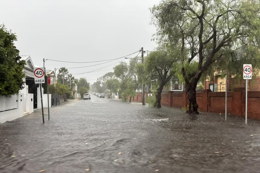
Because the catchments are already moderately wet, we won’t see the usual grace period where the ground absorbs the initial downpour. Instead, the water is going to run straight off the ridges and into the creek networks, causing rapid river rises from overnight Thursday straight into Friday.

Catchments on the Hit List
The official numbers tell us that minor flooding is highly likely across a massive footprint. The primary river systems under the pump include the Manning and Gloucester Rivers, the Goulburn and Upper Hunter, Wollombi Brook, and both the Paterson and Williams Rivers.
Translated to plain bush speak, this means prime 4X4 country is right in the firing line. Chichester State Forest and the lower, southern tracks of the Barrington Tops will feel the pinch first, followed closely by the clay tracks around Yengo National Park and the Watagans backend.
The High Ground Campsite Strategy
If you are still determined to load the fridge and head out, you need to abandon the classic postcard mentality of pitching your setup right on the water edge. Beautiful grassy banks next to a flowing creek can turn into a raging, swirling torrent in a matter of hours.
We always look for high, well-draining ground that sits well above the historical flood markers. Look closely at the surrounding vegetation before unrolling the swag or popping the rooftop tent. If you see debris, dried mud, or weeds tangled up in tree branches above your head, you are standing in a flood zone.
Escape Routes and the Flash Point
The biggest trap in these steep coastal ranges is getting cut off from the inside out. You might pick a campsite that stays perfectly dry on top of a ridge, but if the only track out crosses a low-lying causeway, you’re effectively trapped until the water recedes.
Smaller, steep river catchments like the Paterson and Williams Rivers respond incredibly fast to heavy localized falls. A single intense afternoon thunderstorm upstream can trigger a wall of water that renders a concrete causeway impassable in less than sixty minutes, turning a fun weekend into a stressful waiting game.
Reading the Ridge Lines
When pitching your camp on elevated ground, you also need to look up and check the soil stability around you. Heavy, prolonged rain on steep, cleared ridges or old logging tracks can destabilize the topsoil, leading to localized land slips or falling timber.
Avoid camping directly under large, mature trees like smooth-barked gums, which have a nasty habit of dropping massive limbs when the ground becomes waterlogged and unstable. Park your rig and set your canvas out in the open, away from drainage lines, gullies, or steep embankments that feed water down the mountain.


